Origin
Beyond Cool Climate: What the Data Really Says About Patagonia
Anyone trying to understand Patagonia as a wine region quickly runs into a problem: many of the terms used internationally to explain its origin are accurate, yet too broad.
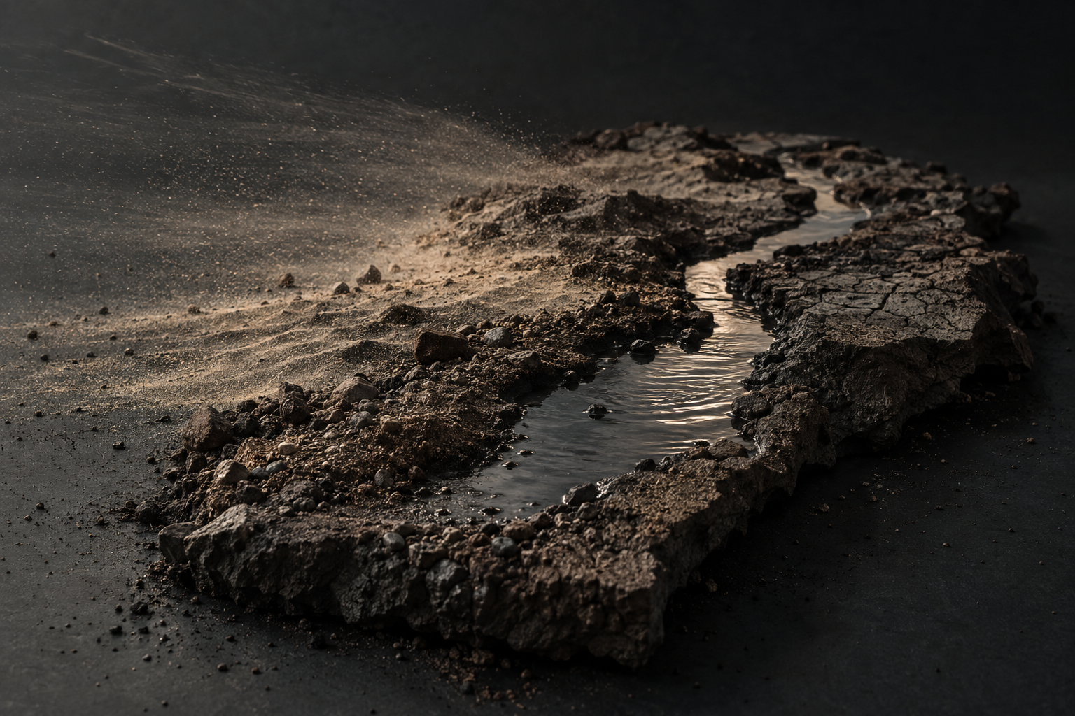
Anyone trying to understand Patagonia as a wine region quickly runs into a problem: many of the terms used internationally to explain its origin are accurate, yet too broad. “Cool climate”, wind, poor soils and large temperature swings describe parts of the region, but they say little about why viticulture in Neuquén differs from Río Negro, or why conditions can change significantly even within a single province.
The 2026 scientific characterisation of Argentina’s wine regions provides an unusually detailed basis for a more precise view. Climate, geology, geomorphology, soils and landscape were analysed using a common methodology; for Neuquén and Río Negro, the findings were then assessed and discussed at the level of individual wine-growing areas.[1][2][3] For communication, this raises a practical question: which of these data points help make origin understandable to an importer, sommelier or wine buyer in Europe?
Three examples show how scientific characterisation can become a concrete market argument.
Climate: “Warm days, cold nights” instead of just “Cool Climate”
Even within a province such as Neuquén, climatic conditions differ considerably. In the Valle Inferior del Río Neuquén, the analysed wine-growing area falls into Winkler Region V, placing it in a very warm category, while the nocturnal coolness index simultaneously classifies its nights as very cold. Around Picún Leufú on the Río Limay, heat accumulation is significantly lower at Winkler Region II, yet the nights are also very cold.[2]
Río Negro shows a similarly broad range. The Alto Valle is classified as Winkler Region IV and combines warm conditions with very cold nights. The Valle Medio reaches Region V with cold nights, while the Valle Inferior sits in Region III and again records very cold nights.[3]
This makes a term such as “Cool Climate Patagonia” too imprecise. Some of the analysed vineyards accumulate considerable heat during the growing season before temperatures drop sharply at night. The Index de Frescor Nocturno captures this second part of the climate by measuring night temperatures during the final phase of ripening.[1]
Warm days, cold nights: For parts of northern Patagonia, this combination describes the climatic reality more precisely than “Cool Climate”.
For market positioning, that is a useful argument because it translates complex climate data into a clear relationship without attributing effects in the glass that the data alone cannot prove. An importer does not need to explain Winkler regions. They need to understand that “Patagonia” means more climatically than simply low temperatures.
Soils: Why the broad narrative falls short
The idea of a typical Patagonian soil becomes equally difficult to sustain under closer examination. Even within the Valle Inferior del Río Neuquén, San Patricio del Chañar and Loma de la Lata show different conditions. Soils in San Patricio del Chañar reach greater effective depth, while in Loma de la Lata, calcareous hardpan and coarse fragments can restrict rooting at depths of between 30 and 90 centimetres. In San Patricio del Chañar, the study also documents moderate salinity, alkaline conditions and varying calcium carbonate levels.[2]
The broad narrative of “poor Patagonian soils” therefore falls short. Over relatively short distances, soil depth, coarse material, salinity and lime alter the conditions under which vines grow. These differences do not provide a ready-made sensory description of a wine, but they give a specific place far more substance than the generic image of a harsh southern landscape.
The more precise the origin, the less useful “Patagonian soil” becomes as an explanation.
For positioning, the key is choosing the right scale. Patagonia can provide orientation; soil statements often become truly meaningful only at the level of a valley or a specific wine-growing area. That is where producers can sharpen their origin story without turning geological data into premature claims about taste.
Water: Green oases in a dry landscape
Another feature connects large parts of northern Patagonian viticulture very directly: water determines where agriculture is possible in an otherwise dry landscape.
The Alto Valle owes much of its agricultural development to an irrigation system that takes water from the Río Neuquén at the Dique Ballester and channels it through the valley via the main canal. Today, the system supplies more than 66,000 hectares with irrigation rights.[4] San Patricio del Chañar likewise developed as a cultivated landscape through the use of water from the Río Neuquén; major irrigation works began there in the late 1960s, followed by canals and further infrastructure.[5]
The result is immediately visible in the landscape: vineyards and other crops form green productive areas within the dry steppe. Rivers and irrigation are therefore part of the origin story of these wine-growing areas, rather than a technical footnote.
Northern Patagonian wine is also a story of cultivated oases along major river systems.
For an international market, this argument is particularly easy to understand. It links landscape and viticulture while also explaining why the Río Neuquén, the Limay and the resulting Río Negro are more than names on a map.
From data sheet to market argument
The national characterisation published in February 2026 covers wine-growing areas in 14 provinces. The project aims to identify scientifically robust regional differences, strengthen regional identities and explicitly support the commercial communication of Argentina’s wine regions.[1]
Neuquén and Río Negro already show what this can produce. Climate data provide the understandable combination of warm days and cold nights. Soil mapping explains why origin within Patagonia often needs to be communicated at a local level. The analysis of landscape and irrigation shows how closely viticulture and river systems are connected in the dry landscape of northern Patagonia.
Origin data become valuable in a market when they turn into an argument that is technically sound and understandable without technical expertise.
For Patagonia, this scientific work goes beyond simply providing a more accurate description of the region. It gives producers and regional bodies material from which they can identify what genuinely explains their origin and what matters in a specific market. That translation determines whether scientific knowledge remains on a data sheet or becomes part of a clear market position.
Sources
1 Inter-American Development Bank (IDB), COVIAR et al.: Caracterización de las regiones vitivinícolas argentinas. Published: February 2026. The publication outlines the methodology, study areas and objectives of the project; the database covers wine-growing areas in 14 provinces. IDB – Caracterización de las regiones vitivinícolas argentinas
2 Project Caracterización de las Regiones Vitivinícolas Argentinas: PPT Hallazgos en Neuquén por zona, dated 30 June 2026. Working document presenting findings for the analysed wine-growing areas of Neuquén.
3 Project Caracterización de las Regiones Vitivinícolas Argentinas: PPT Hallazgos en Río Negro, dated 1 July 2026. Working document presenting findings for the analysed wine-growing areas of Río Negro.
4 Gobierno de Río Negro: Servicios de Riego – Distrito de Riego Alto Valle. Information on the Sistema Integral de Riego del Alto Valle, Dique Ballester and irrigated area. Accessed: 22 September 2026. Gobierno de Río Negro – Servicios de Riego
5 Municipalidad de San Patricio del Chañar: Identidad – San Patricio del Chañar. Historical information on irrigation and agricultural development from the late 1960s onwards. Accessed: 22 September 2026. Municipalidad de San Patricio del Chañar – Identidad